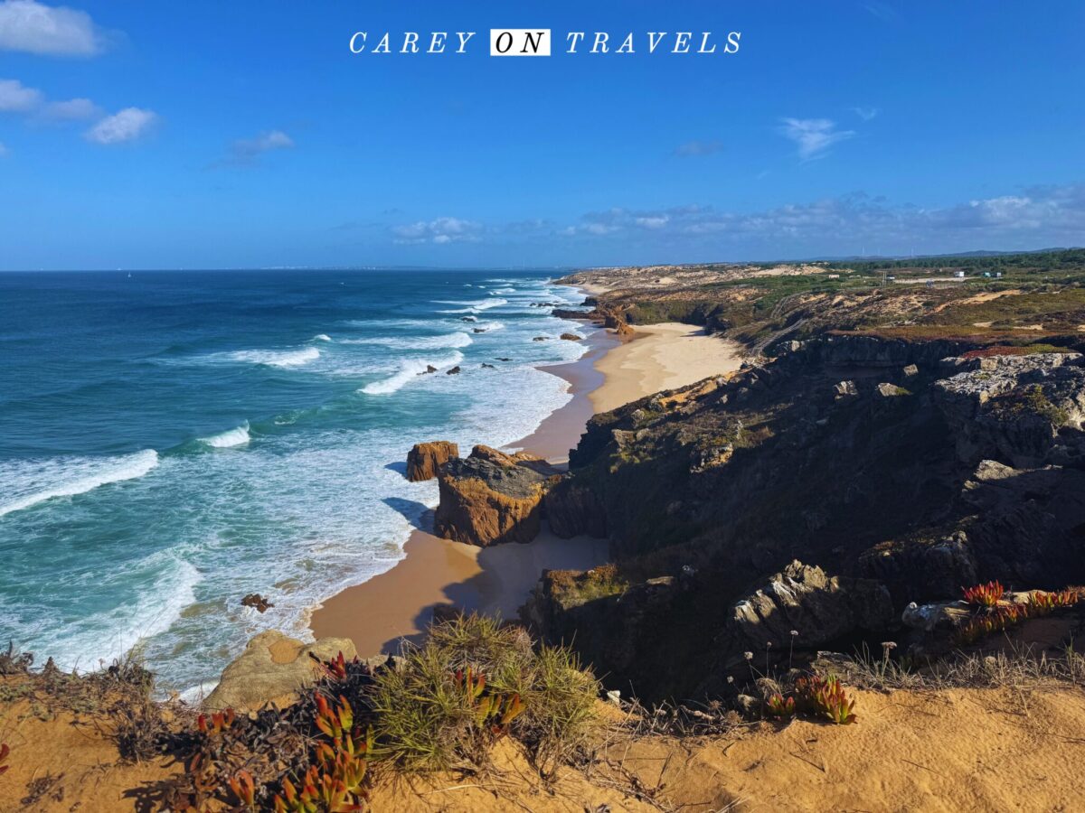
Known for its stunning cliffs, secluded beaches, and charming fishing villages, the Fisherman’s Trail is an immersive experience of Portugal’s untamed Atlantic coast. Most of the original trail runs through the Alentejo region, with stunning views and a true sense of the region’s natural beauty. Here’s our practical guide to planning your solo “classic” Fisherman’s Trail hike in Portugal, whether you choose to hike it traditionally or in your own unique way.
This post may contain affiliate links. If you make a purchase through these links, we will earn a small commission at no additional cost to you. We recommend products we have personally used or verified. Read the full disclosure here.
If you don’t have time to read this now, pin it for later!
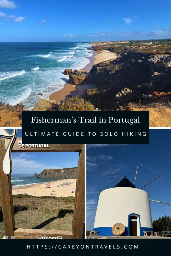
Fisherman’s Trail Contents
- Fisherman’s Trail Background
- Fisherman’s Trail (Solo) Hiking Tips
- When is the Best Time to Hike the Fisherman’s Trail?
- Is it Safe to Hike the Fisherman’s Trail Solo?
- How to Meet Others When Hiking the Fisherman’s Trail Solo?
- Does It Matter Which Direction You Hike?
- Do You Have to Hike the Fisherman’s Trail Point-to Point?
- How Hard is the Fisherman’s Trail in Portugal?
- How to Navigate the Fisherman’s Trail
- Portugal Fisherman’s Trail Bus, Taxi, and Luggage Transfer Options
- Where Can You Sleep on the Fisherman’s Trail Portugal?
- Packing Tips for the Fisherman’s Trail
- Portugal Fisherman’s Trail Route
Fisherman’s Trail Background
Where is the Fisherman’s Trail?
The Fisherman’s Trail is part of the Rota Vicentina, a network of walking routes along the southwestern coast of Portugal. The original Fisherman’s trail stretches through the Alentejo region, ending in the Algarve. It follows the rugged coastline from Porto Covo to Odeceixe. It’s been extended beyond Odeceixe, ending in Lagos. This post focuses on the original trail.
How Long is the Fisherman’s Trail in Portugal?
The original Fisherman’s Trail covers approximately 76 kilometers (47 miles) from Porto Covo to Odeceixe, typically completed over 4 days of hiking. Each day’s section averages around 20 kilometers, though hikers can adjust the number of days and distance per day. It’s easy to break the hike into smaller segments, covering the distance in 5-6 days. The extended Fisherman’s Trail runs a total of 200 km over 13 1-day hikes.
| Day 1: Porto Covo to Vila Nova de Milfontes | 20 km (average time 6:30 hours) |
| Day 2: Vila Nova de Milfontes to Almograve | 15 km (average time 5:30 hours) |
| Day 3: Almograve to Zambujeira do Mar | 22 km (average time 6 hours) |
| Day 4: Zambujeira do Mar to Odeceixe | 18 km (average time 5:30 hours) |
| Day 5: Optional Circular Hike from Odeceixe | 16 km (average time 3:45 hours) |
Fisherman’s Trail (Solo) Hiking Tips
When is the Best Time to Hike the Fisherman’s Trail?
The best times to hike the Fisherman’s Trail are September-November and March-May, avoiding the heat of the summer and rainier weather in winter.
If you’re seeking a tranquil experience, winter may be a great fit for you, despite the increased rain. As a solo female hiker, I preferred to hike when I knew there would be more people on the trail. In October, I had times where I went an hour without seeing anyone else, while at other times, I’d pass people every 15-30 minutes.
Is it Safe to Hike the Fisherman’s Trail Solo?
Hiking the Fisherman’s Trail solo is generally safe, especially for experienced hikers. The trail is well-marked, and the route passes through small coastal villages, so you’re not too far from help if needed. The area is known for its friendly locals, providing a comfortable environment for solo travelers. However, as with any hike, it’s essential to be prepared. Carry enough water and food and a safety whistle, wear proper footwear, and ensure you have an offline map. Cell service can be spotty in some areas, so it’s a good idea to inform someone of your plans and check the weather in advance. Coastal conditions can change quickly.
Don’t forget to purchase travel health insurance before going, if your home insurance doesn’t cover you in Portugal. Hopefully you’ll never need it, but if you do get injured, you’ll be glad you have it.
How to Meet Others When Hiking the Fisherman’s Trail Solo?
The vibe of the Fisherman’s Trail is quite different from the Camino Santiago. Most are completing the 4 day trek, though some will continue for the full 13-stage experience. It’s common to strike up conversations at rest points, cafes, or accommodations in the small villages along the trail. A few suggestions:
- Staying in hostels and guesthouses with communal areas increases your chance of meeting other travelers;
- Check reviews to see which hostels or guesthouses have a vibe that matches what you are looking for (e.g., communal dinners, a rooftop bar, planned activities?);
- Strike up conversations when you stop at rest points, such as cafés.
Does It Matter Which Direction You Hike?
Most people walk from Porto Covo to Odeceixe because the trail overviews are written that way. There is no real reason not to hike this from Odeceixe to Porto Covo. If it’s easier to fly in to Faro and out of Lisbon, consider starting in Odeceixe (closer to Faro), ending in Porto Covo (closer to Lisbon).
Do You Have to Hike the Fisherman’s Trail Point-to Point?
While most do this hike as a point-to-point, it’s possible to base yourself in 1-2 locations, with the help of buses and taxis. While hiking the trail solo, I decided to base myself out of 2 locations (Vila Nova de Milfontes and Odeceixe), using buses and occasionally a taxi to get to the start of each stage. Given my dietary restrictions, this made food logistics much easier for me. See the Bus and Taxi section below for further information on bus and taxi options.
How Hard is the Fisherman’s Trail in Portugal?
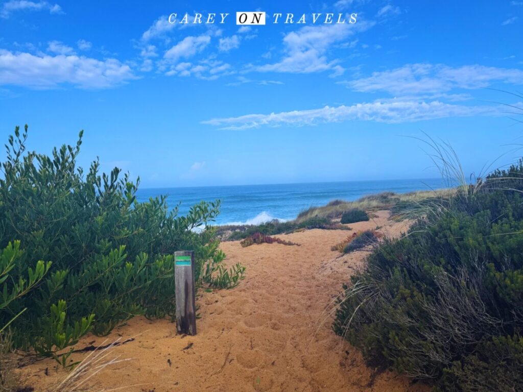
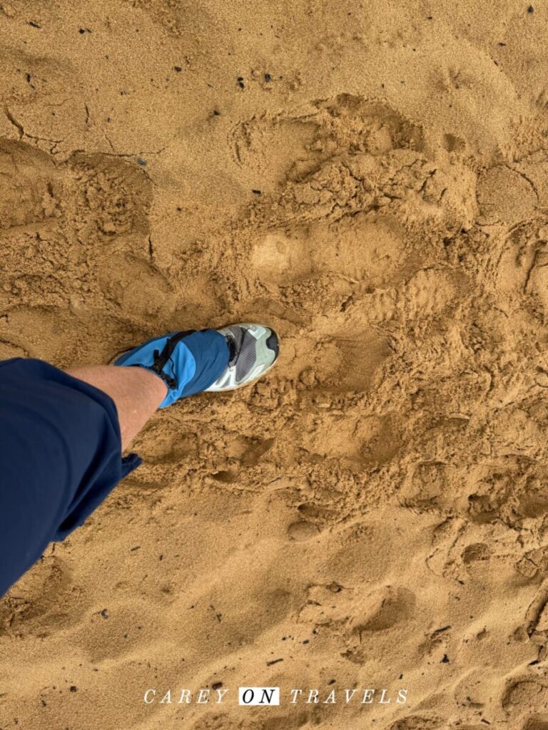
The trail’s path follows the coastline, offering a mix of sandy tracks, cliffside paths, and occasional inland sections. The trail is moderate on Alltrails, with 1200 meters of elevation gain (across 4 days). The deep sand found on certain sections of the trail increases the challenge (especially Porto Covo to Vila Nova de Milfontes and Vila Nova de Milfontes to Almograve).
While the sand makes it harder, it’s definitely doable. Just expect to work a bit harder and to go a bit slower than usual. A few recommendations:
- If wearing trail running shoes, using low to mid gaiters reduces the sand that gets in your shoes;
- Wearing waterproof boots with long pants with elastic or a drawstring at the bottom works too;
- Trekking poles make navigating the sand easier. While not essential, days with the poles were easier than the those without.
How to Navigate the Fisherman’s Trail
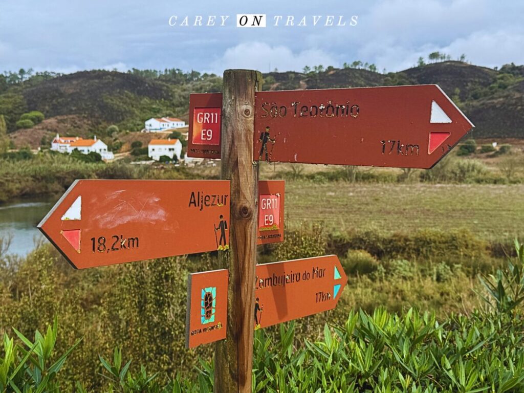
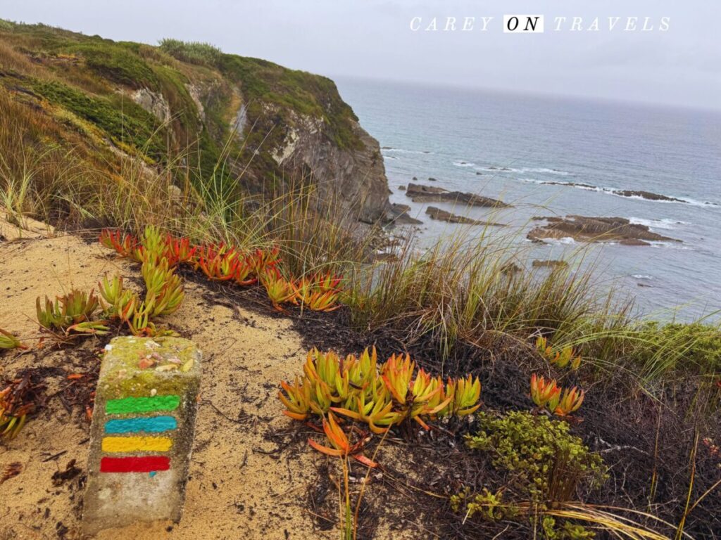
The Fisherman’s Trail is well sign-posted, with blue and green markings (ignore the red/yellow Rota Vicentina markings). There are 4 main signs: right way, wrong way and turn left and turn right. Be sure to bring along an offline map. I used:
- Costa Vicentina, Hiking Map;
- Downloaded Alltrails map (found here).
I used the printed map to plan my route. While hiking, I pulled up Alltrails a few times to confirm I was on the right trail. Otherwise, the trail signs were quite clear.

Fisherman’s Trail Bus, Taxi, and Luggage Transfer Options
| Rede-Expressos (also on BusBud) | Lisbon to Porto Covo, Lisbon to Odeceixe Faro to Porto Covo, Faro to Odeceixe |
| Flixbus | Lisbon to Odeceixe, Lisbon to Sines (near Porto Covo) Faro to Odeceixe |
| RodAlentejo | Buses between Sines-Porto Covo-Vila Nova Milfontes and Almograve |
| Vicentina Transfers | They’ll book your entire trip or just luggage transfers (15-20 Euros/transfer) |
| Pedro Texeira (WhatsApp +351-967-284393) | Vila Nova de Milfontes taxi: airport transfers, luggage transfers, short and long transfers (I used his taxis where needed along the route, very professional) |
| Táxi Boat Maresia Vila Nova de Milfontes | Contact: maresiadomira@gmail.com +351 964 200 944 |
| Other transport options | Check the Rota Vicentina transport site here |
Where Can You Sleep on the Fisherman’s Trail Portugal?
There’s a wide range of lodging along the Fisherman’s Trail, from hostels to upscale boutique hotels. You may want to spend more time in certain villages to rest and recuperate. Vila Nova de Milfontes, Zambujeira do Mar, and Odeceixe offer great spots for a rest day, with plenty of cafes, restaurants, and activities. There are campsites available in Porto Covo, Vila Nova de Milfontes, Zambujeira do Mar, and Odeceixe. It’s forbidden to spend the night on the beach within the Costa Vicentina Natural Park.

Packing Tips for the Fisherman’s Trail
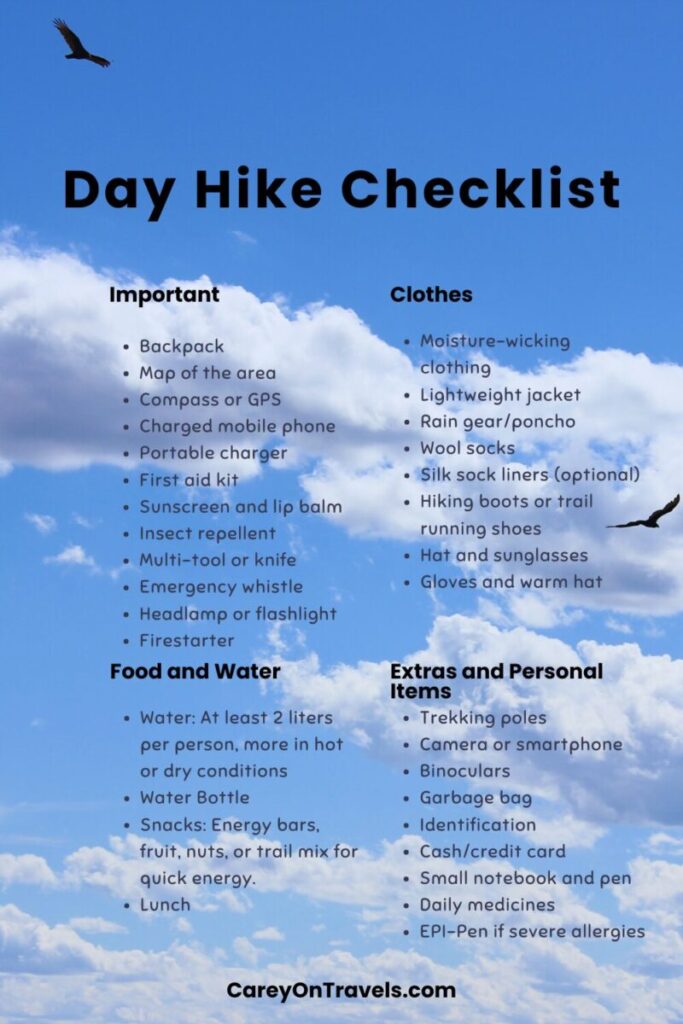
Here’s a list of Fisherman’s Trail specific packing tips for your daily hikes. See our Essential Day Hike Checklist for a comprehensive general day hike packing list.
| What to Bring | What I Used and Recommend for the Hike |
|---|---|
| 15-25 L Day pack (assumes use of luggage transfer) | Osprey Sportlite 25 Hiking Backpack |
| Water resistant hiking pants | Coalatree Trailhead Adventure Pants; use our promo code COTRAVELS15 to get 15% off your first order |
| Trail running shoes or hiking boots | Salomon XA Trail Running Shoes |
| Lightweight wool hiking or running socks, with an extra pair in your daypack | Injinji Liner Crew Toesocks |
| Hiking gaiters (low to mid): use with trail runners for deep sand and rain | Kahtoola INSTAgaiter Mid Gaiters |
| Trekking poles (with rubber tips) | Komperdell Unisex – Adult Ridgehiker Cork Powerlock Trekking Pole |
| Hard copy trail map (this is a “German edition” though towns are all Portuguese, and guide is also in English) | Costa Vicentina, Hiking Map |
| Rain gear | My rain poncho worked well for warmer days that weren’t too windy. If windy or colder, I used a rain jacket. I brought rain pants but never used them. Don’t forget a pack cover. |
| Swim suit and small quick-dry towel | Wise Owl Outfitters Camping Towel |
| Fully charged cell phone and portable charger (solar charger would be ideal) | KEOLL Portable Charger 25800mAh Power Bank |
Coalatree is our go-to brand for sustainable, durable, eco-friendly hiking clothing. Use our promo code COTRAVELS15 to get 15% off your first order.
Portugal Fisherman’s Trail Route
Day 1: Porto Covo to Vila Nova de Milfontes
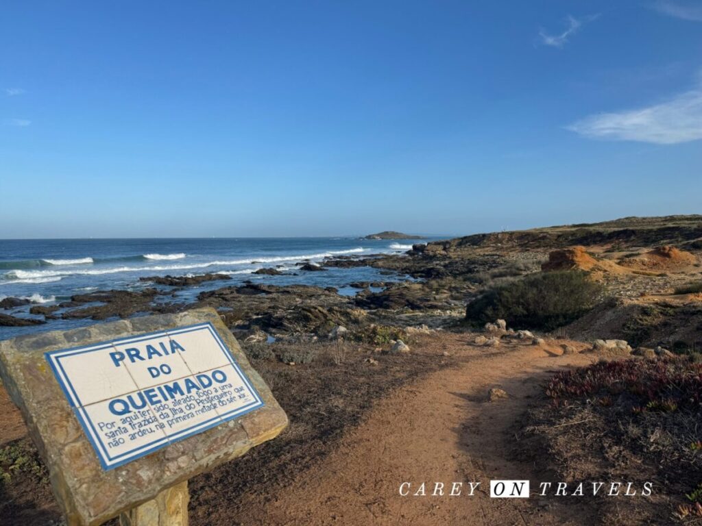
- Distance: 20 km (average time 5-6:30 hours)
- Options to shorten this leg: Taxi to Pessegueiro Island Beach, hike to Vila Nova de Milfontes from there (shortens by 4 km).
- Options to split this leg: Porto Covo to Praia da Malhão (12 km) (taxi pick-up); 2nd section: taxi back to Praia da Malhão, walk to Vila Nova de Milfontes (8 km).
- Possible lunch options: Pessegueiro Island Beach or Porto das Bracas, best to bring lunch along.
- Where to Stay (starting point): Porto Covo
- Where to Stay (destination): Vila Nova de Milfontes
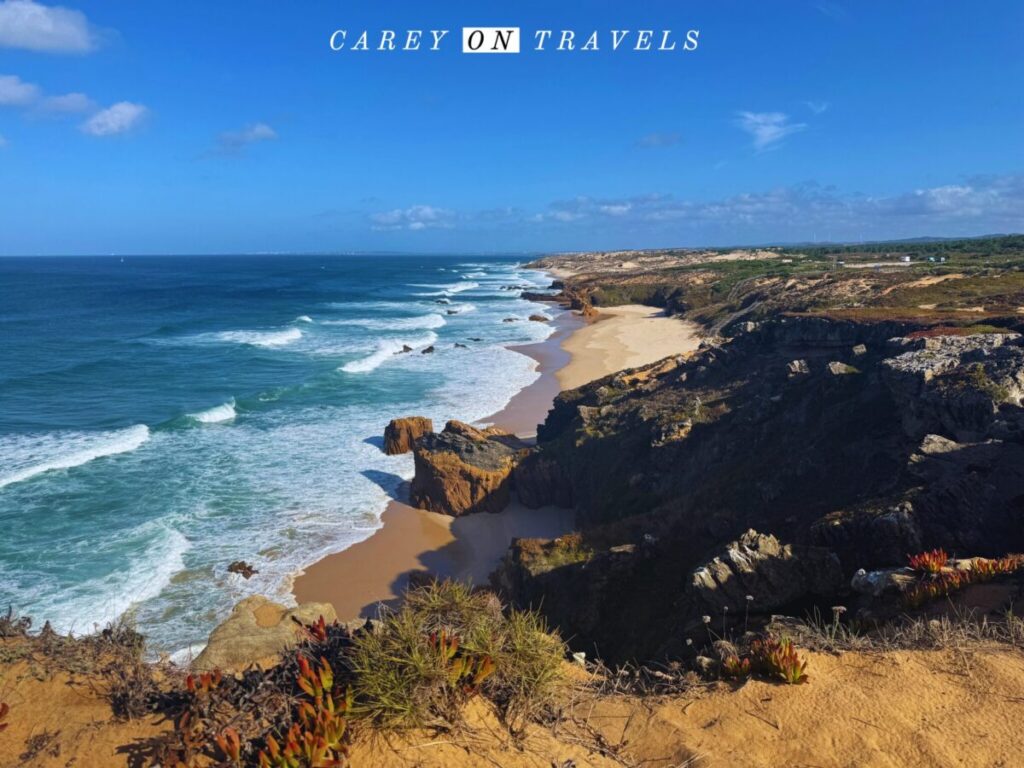
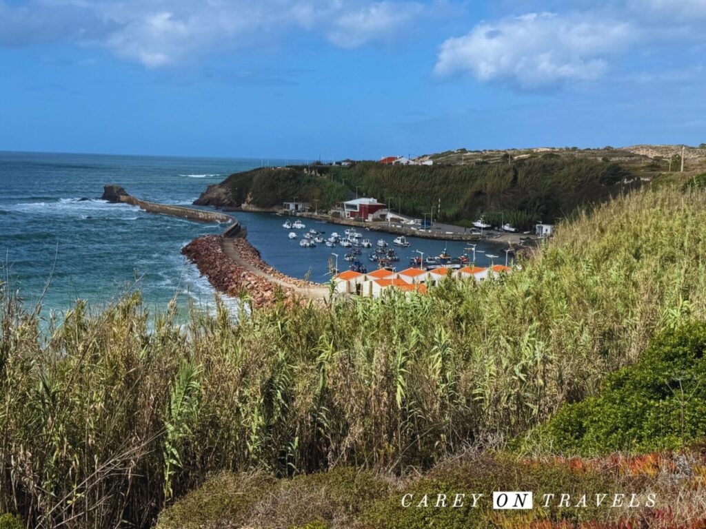
The hike from Porto Covo to Vila Nova de Milfontes is the 1st stage, with breathtaking views of dramatic cliffs, pristine beaches, and the turquoise ocean. The trail winds through sandy paths and rugged terrain, passing secluded coves and stretches of untouched nature. As you approach Vila Nova de Milfontes, a charming coastal town on the Mira River, you’re rewarded with picturesque views and a great place to relax after a day of hiking. Enjoy a meal and a spectacular sunset view from Praia do Farol.
Day 2: Vila Nova de Milfontes to Almograve
- Distance: 15 km (average time 5:30 hours)
- Options to shorten this leg: Take the ferry across the river in Vila Nova de Milfontes, shortening this by 3-4 km.
- Possible lunch options: Praia das Furnas (on the other side of the river from Vila Nova de Milfontes). It’s easier to bring lunch along for this stage.
- Where to stay (destination): Almograve
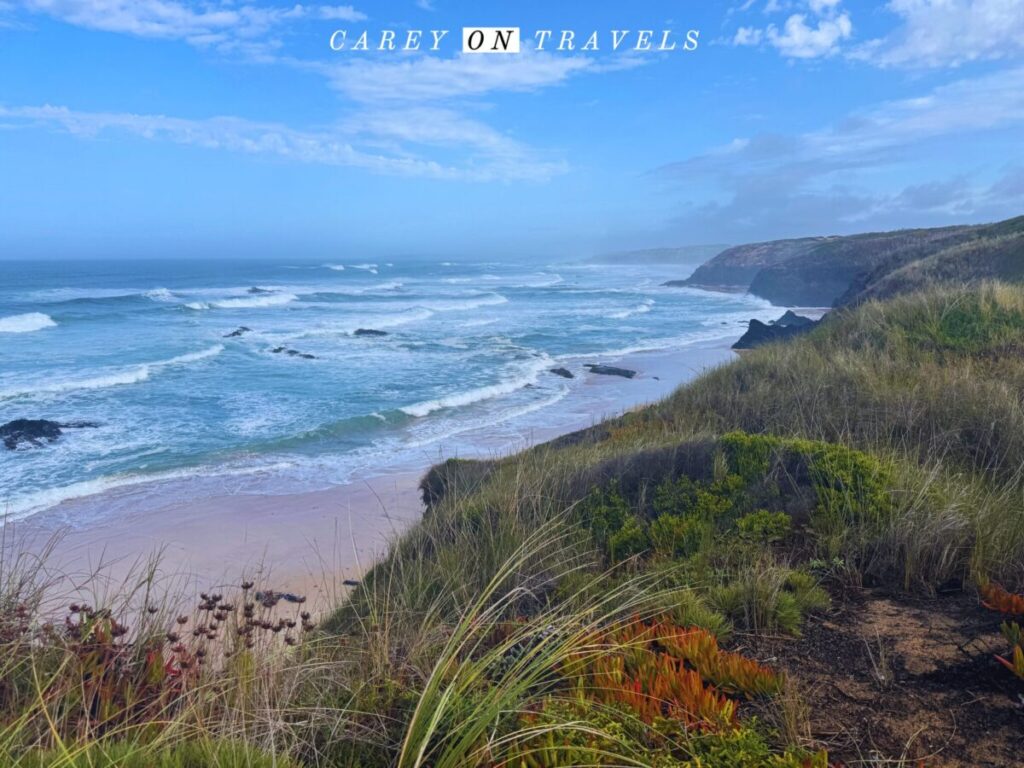
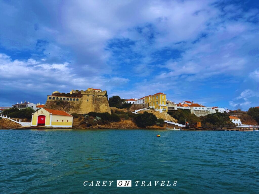
The hike from Vila Nova de Milfontes to Almograve offers a mix of coastal and inland landscapes. The journey begins with a beautiful crossing of the Mira River, either by ferry or via a longer inland route across the bridge. From there, the trail leads along sandy cliffs and wild beaches, showcasing dramatic ocean views and windswept dunes.
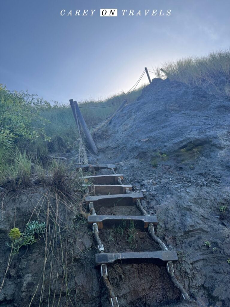
Take the opportunity to walk along the beaches where you have easy access. There is one stretch with a somewhat precarious ladder to climb back up from the beach. I used this after a heavy rain, and it was definitely needed due to mud. The typically Portuguese town of Almograve is slightly inland and offers a peaceful spot to rest. Don’t miss sunset at the beach bar at Almograve beach.
Day 3: Almograve to Zambujeira do Mar
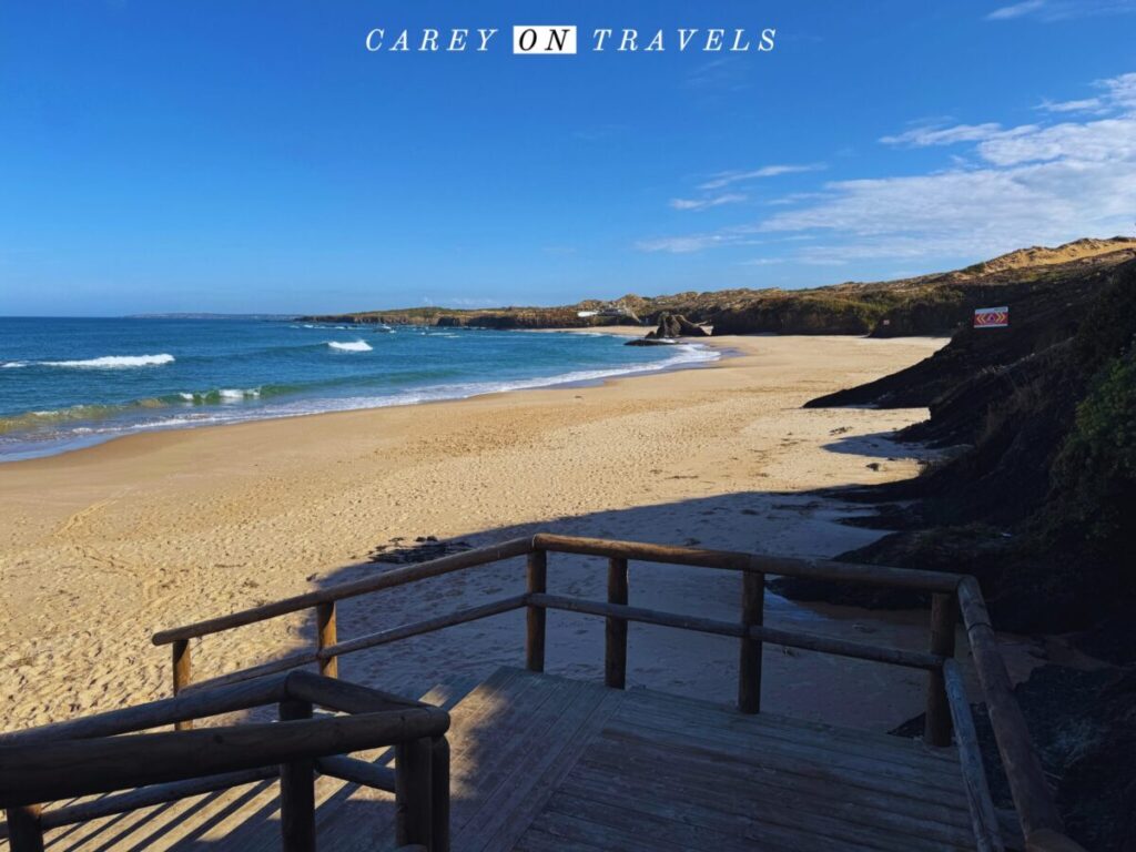
- Distance: 22 km (average time 6 hours)
- Options to split this leg: Almograve to Cavaleiro (13.5 km, taxi pickup) and Cavaleiro to Zambujeira do Mar 12 km). There’s limited lodging in Cavaleiro.
- Possible lunch options: Cavaleiro
- Where to stay (destination): Zambujeira do Mar
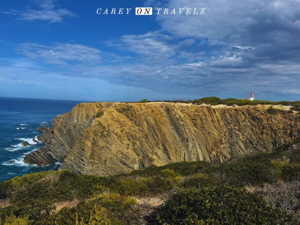
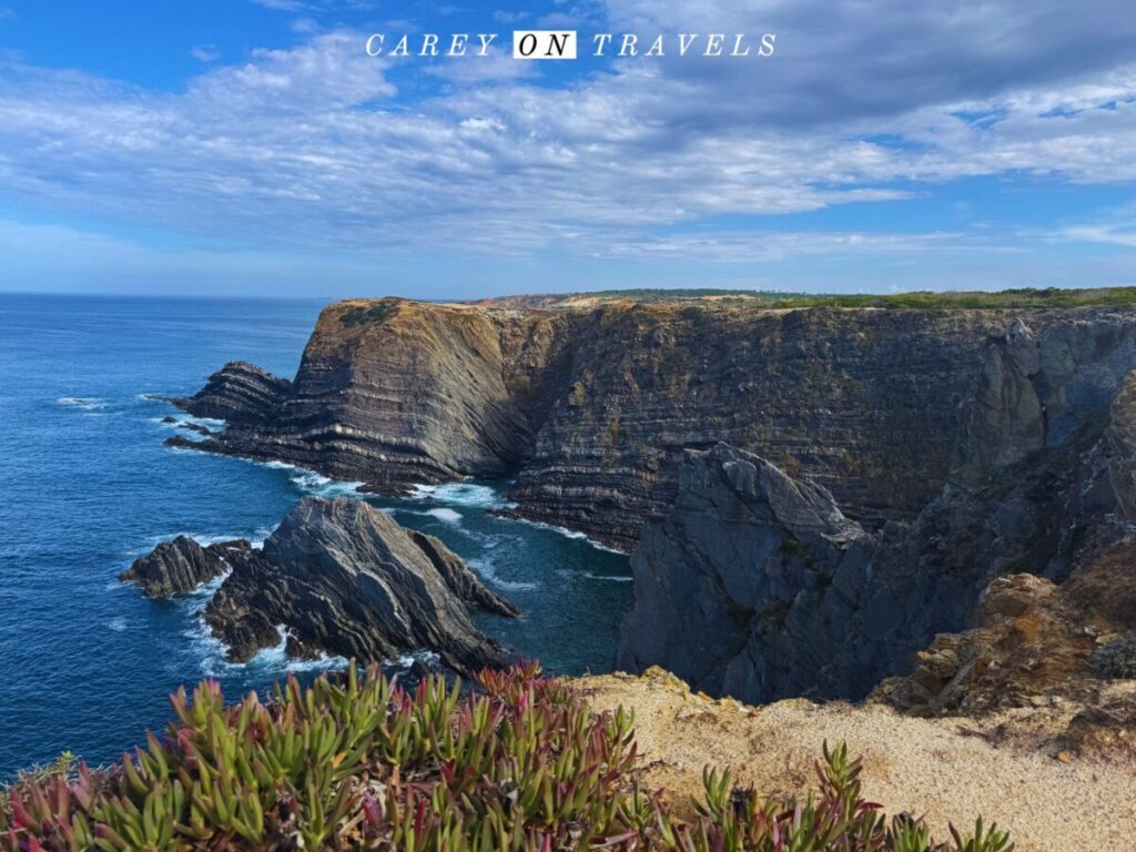
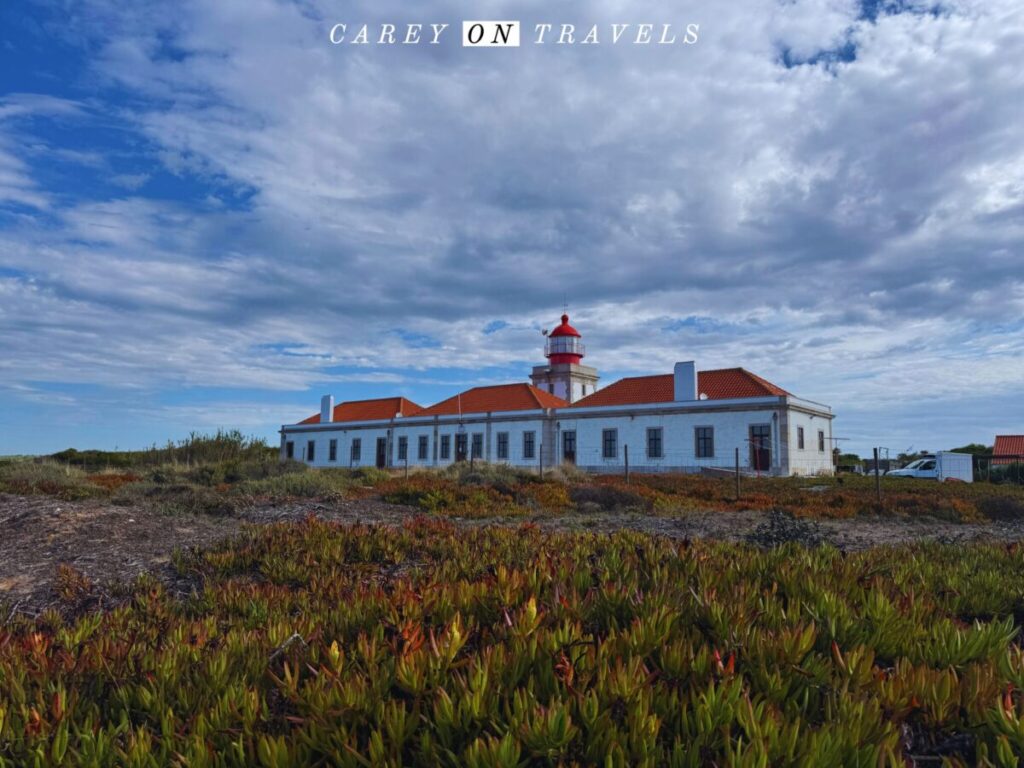
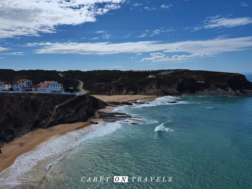
The hike from Almograve to Zambujeira do Mar is known for its raw coastal beauty. This section takes you through diverse landscapes, from windswept cliffs and expansive beaches to rolling sand dunes and small, rocky coves. The trail passes the Cabo Sardão lighthouse, perched dramatically on the cliffs, offering stunning panoramic views of the Atlantic. If you’d like a lunch break, walk a short distance inland to Cavaleiro, where you’ll find a store and restaurant. Keep an eye out on this and the next leg for storks nesting along the cliffs.
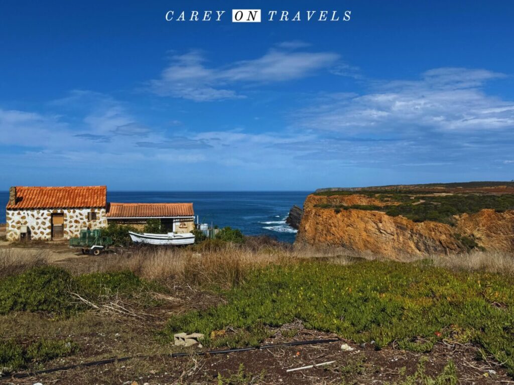
As you near Zambujeira do Mar, you’ll first reach Porto das Barcas, which is a fisherman’s village. It has a restaurant, which could be a late lunch spot if you didn’t stop in Cavaleiro.
You’ll soon reach Zambujeira do Mar, one of the most picturesque seaside villages along the trail, with its whitewashed houses and inviting beach. Zambujeira do Mar is a great place to rest and enjoy local seafood, with its laid-back atmosphere and incredible sunset views over the ocean.
Day 4: Zambujeira do Mar to Odeceixe
- Distance: 18 km (average time 5:30 hours)
- Options to shorten this leg: Taxi to Praia Carvalhal, avoiding the challenging start of this stage, then hiking to Odeceixe (shortening about 4 km).
- Options to split this leg: Zambujeira do Mar to Azenha do Mar (roughly 9 km), Azenha do Mar to Zambujeira do Mar (roughly 9 km). Limited lodging in Azenha do Mar.
- Possible lunch options: Praia Carvalhal (beach bar closed when I walked by), Azenha do Mar (café and restaurant options).
- Where to stay: Odeceixe

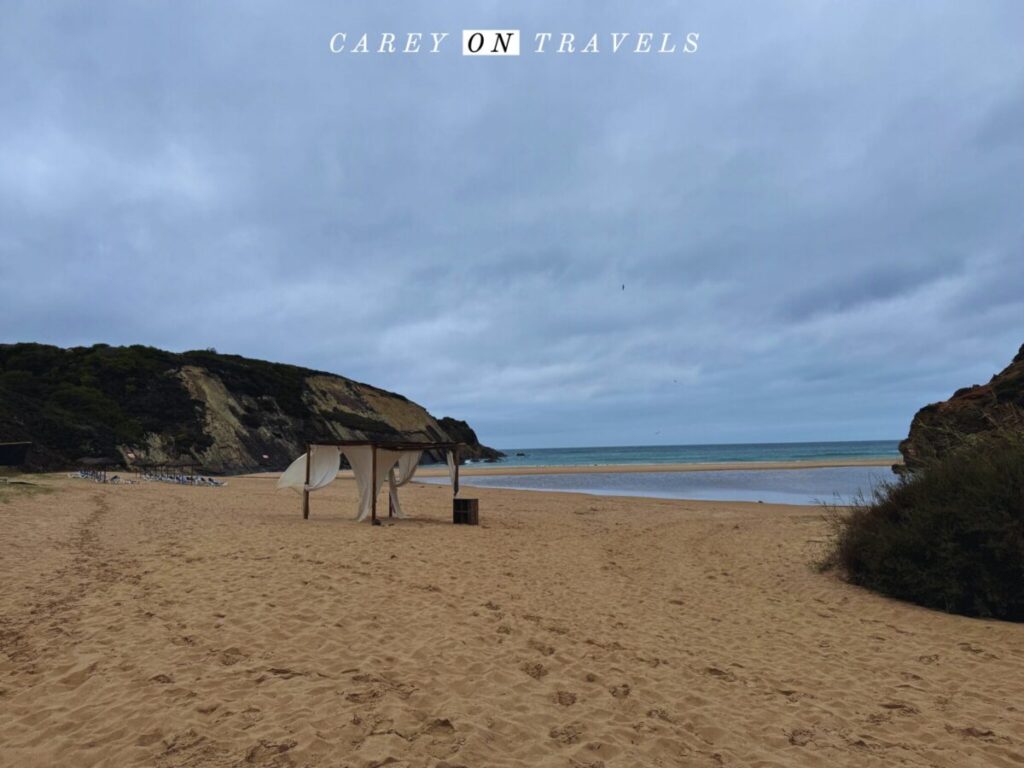
The hike from Zambujeira do Mar to Odeceixe is one of the most scenic sections of the Fisherman’s Trail. This stretch features dramatic coastal cliffs and quiet beaches as the trail winds through wildflower-filled landscapes. Along the way, you’ll pass the stunning Praia do Carvalhal and Praia da Amália. Just south of Praia do Carvalhal, you’ll pass a private zoo, where you may see zebras, ostrich, and more in the distance.
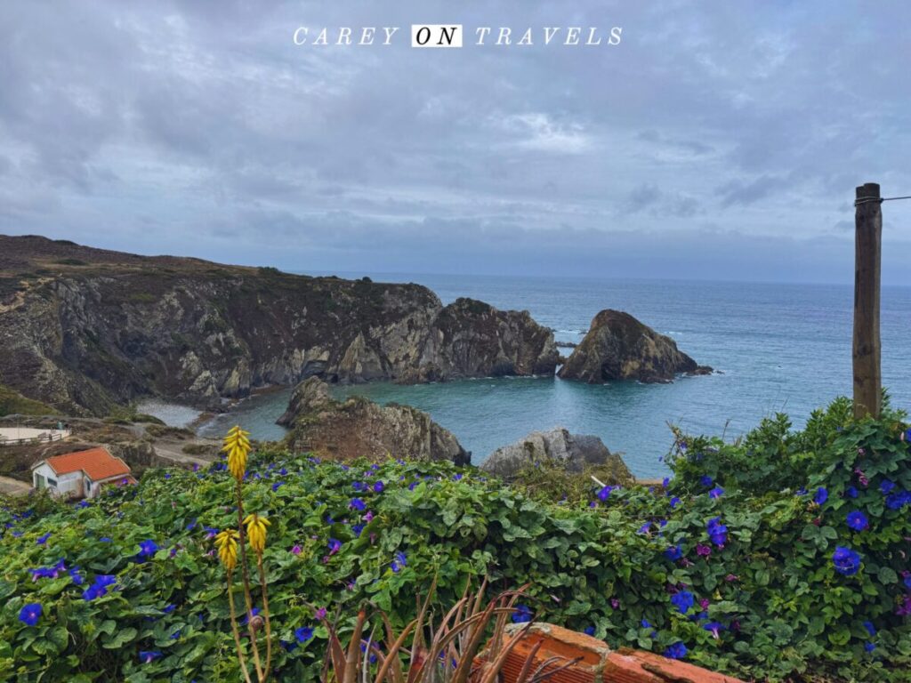
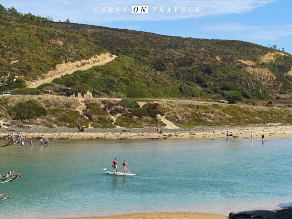
Azenha do Mar is the logical lunch stop, with a café and restaurant right off the trail. The final approach to Odeceixe offers breathtaking views of the Seixe River, which marks the natural border between the Alentejo and Algarve regions. Once you make your way down the trail (in the photo below), you are on the opposite side of the river from Odeceixe beach. It is about a 3k walk from there into town (away from the ocean). Odeceixe, a quaint village known for its iconic windmill and wide river beach, is the perfect place to end your journey.
Day 5 (Optional): Odeceixe Circular Trail
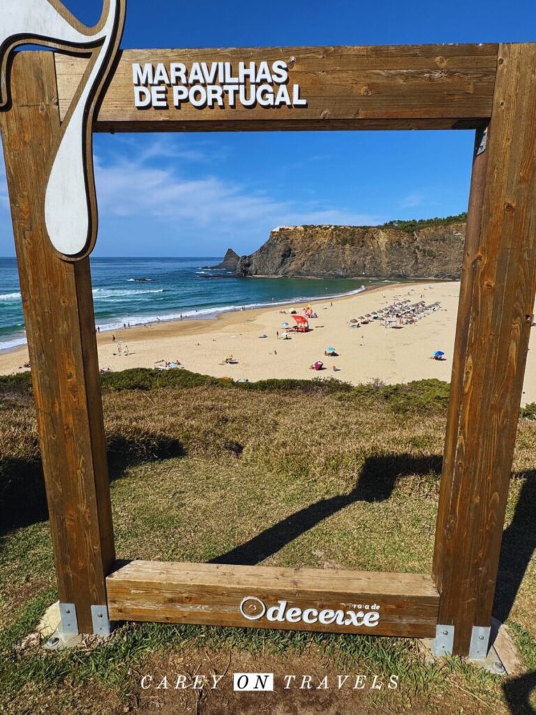
- Distance: 16 km (average time 3:45 hours)
- Possible lunch options: Praia Odeceixe (my favorite lunch spot was Esplanada do Mar, though there are plenty of options here)
- Where to stay: Odeceixe
The Odeceixe Circular Trail is a scenic loop that offers both coastal and inland landscapes, showcasing the beauty of the Odeceixe region. Starting in the village of Odeceixe, the trail follows the Seixe River toward its mouth, offering panoramic views of the stunning Odeceixe Beach, where the river meets the Atlantic Ocean. From there, the route wraps around the headland, then heads inland, passing through rolling farmlands, valleys, and rural countryside. The trail loops back to Odeceixe, providing a rewarding mix of beach, river, and rural scenery. This can also be done as an out and back, sticking to the riverfront and headland sections.
Final Thoughts on Hiking the Fisherman’s Trail Solo
The Fisherman’s Trail is a breathtaking experience, but it doesn’t need to be overwhelming or rushed. Whether you’re hiking the whole trail or just sections, don’t be afraid to make changes that suit your pace. After all, the beauty of this hike is best enjoyed when it’s tailored to you, especially when hiking solo. Planning your 2025 Fisherman’s Trail adventure? Use these tips to craft a personalized journey that suits your needs and ensures you have a memorable experience.
You May Also Enjoy:
- Top Tips for Renting a Car in Portugal
- Best Destinations in Portugal in Winter
- 10 Activities in Lisbon Off-the-Beaten Path
- Best Places to Stay on the Fisherman’s Trail
- What to See in Évora, Portugal, a Traveler’s Guide
- Best Unique Places to Stay in Évora
- Portugal UNESCO Heritage Sites, Exploring Elvas
If you enjoyed this post, pin it for later!
Travel Resources
We recommend booking through our preferred travel booking sites below.
| Air Travel | SkyScanner |
| Lodging | Booking.com, VRBO.com, Expedia.com, Hostelworld |
| Tours and Activities | Viator.com, GetYourGuide.com, TakeWalks.com |
| Car rentals | Discovercars.com |
| Travel insurance | Squaremouth |
| Bike and scooter rentals | BikeBookings.com |
| Train tickets | Trainline, RailEurope |
| Bus tickets | Flixbus, Busbud |



[…] ago28 comments Share this article PinterestFacebookRedditEmail Previous article How to Plan Your Solo Portugal Fisherman’s Trail Hike Next article What to See in Évora, Portugal: A Traveler’s Guide Home » Blog » […]
This looks beautiful!
Thank you, it is a beautiful trail!
Portugal seems to have not only history, architecture, beaches but also challenging trails! This country is already in my bucket list. Awesome pics! Thanks for sharing.
Thank you for the feedback!
Beautiful imagery! I would love to hike Fisherman’s Trail. Thanx so much for sharing!
Hope you have a chance to try it out.
I love the south of Portugal! I’ll put the Fisherman’s Trail hike on my list for my next visit!
Great, I love this part of Portugal too.
Gosh, each day seems epic but Day 1 really takes the cake for me!
Day 1 is a tough one, but it was absolutely stunning, and felt great to have done it!
Portugal really is a country that has a lot packed into a little place. I never would have thought it would have multi-day hikes, but here we are haha. Absolutely stunning pictures. Not sure I could do the whole trail but worth checking out even for a part of it.
Definitely worth check out, even if you choose to do some short day hikes. Such a beautiful area.
Definitely saving this for when I go back to Portugal!
Hope you can give it a try!
I’ve done a section of the Rota Vicentina further south, and now you’ve got me looking for an opportunity to do this bit too. Thank you.
I’d hiked a stretch further south in the Algarve too, which inspired me to do this. The Alentejo is so wonderfully undeveloped compared to the Algarve, which adds to the experience.
I’ve never heard of this, but it sounds fantastic. What a beautiful area too. I learned a ton from your post!
So many people talk about doing the Portuguese camino, but relatively few have the Fisherman’s Trail on their radar.
I’m not sure I’d last the 4 days as I’m not much of a hiker – maybe if I could do a day here and a day there so I could appreciate those spectacular views.
You can drive to some of these beaches, though certainly not all. I’d suggest staying in Vila Nova de Milfontes or Odeceixe, taking a few shorter hikes in the area to appreciate the views.
What a hike! I’ve never heard of this before, but I am putting it on my list for the next time I visit Portugal.
It’s an amazing hike–you can also do day hikes for much of this trail as well if preferred.
I had a hiking trip to Portugal that got cancelled due to the pandemic, and was never rebooked. Thanks for sharing your experiences hiking the Fisherman’s Trail-this motivates me to put Portugal hiking back on my list.
There are so many great hikes in Portugal–hope you’re able to explore some of them.
[…] seconds agoAdd comment Share this article FacebookXRedditPinterestEmail Next article How to Plan Your Solo Portugal Fisherman’s Trail Hike Home » Blog » beach » Best Places to Stay on the Original Fisherman’s […]
[…] Fisherman’s Trail is part of the Rota Vicentina, which stretches from the Alentejo into the Algarve. This hike is […]