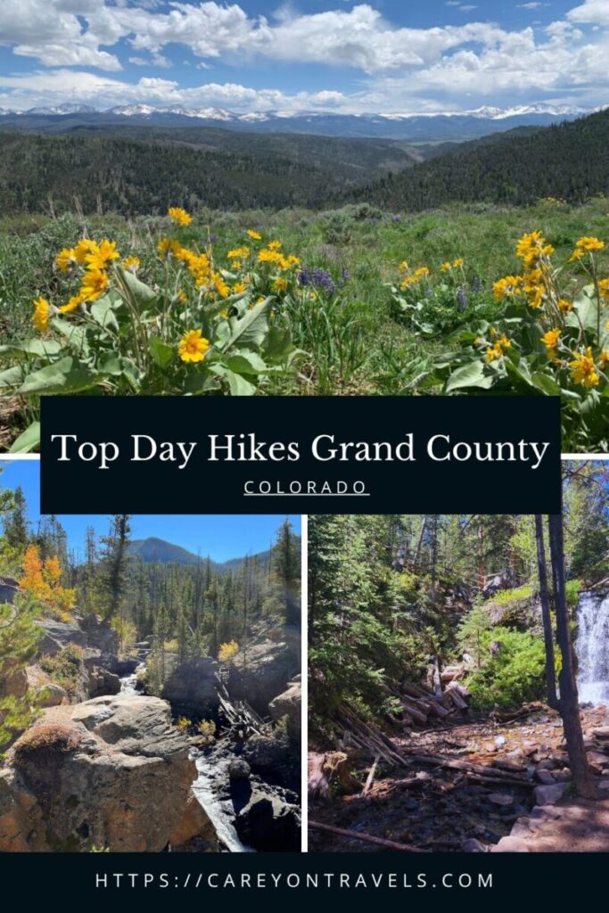
Nestled in the heart of the Colorado Rockies, Grand County is a hiker’s paradise, offering a diverse range of trails that showcase the stunning beauty of the region. From serene lake walks to challenging mountain ascents, Grand County has day hikes for every type of hiker. Let’s explore some of the top family friendly day hikes in Grand County that should be on your list when you visit this majestic part of Colorado. All hikes within Rocky Mountain National Park are noted with “RMNP.” Be sure to check out the hiking tips to ensure you are well prepared before you head out.
This post may contain affiliate links. If you make a purchase through these links, we will earn a small commission at no additional cost to you. We recommend products we have personally used or verified. Read the full disclosure here.
- Easy Hikes:
- Monarch Lake Loop Trail
- Adams Falls and the East Inlet Trail (RMNP)
- Waterfall Trail Snow Mountain Ranch
- Fraser River Trail
- East Shore Trail and the Shadow Mountain Lookout
- Moderate Hikes:
- Creekside/Flume Loop
- Cascade Falls Trail (RMNP)
- Challenging Hikes:
- Columbine Lake Trail
- Byers Peak Trail
- Devil’s Thumb Trail
- Varied Difficulties:
- Granby Ranch Trails
Don’t have time to read the whole article? Find the top Grand County hotels!
Pin it for later!
1. Monarch Lake Loop Trail
- Distance: 4 miles (loop)
- Hiking Time: 1.5-2 hours
- Elevation gain/loss: Minimal (8,345′ starting elevation)
- Difficulty: Easy
- Pet Friendly: Yes, dogs must be on leash
- Trailhead: Park at the Monarch Lake Trailhead within the Arapahoe National Recreation Area. America the Beautiful Interagency Passes are accepted, or you can pay the daily use fee (2024 pricing: $5 for a 1 day pass, $10 for a 3 day pass, $15 for a 7 day pass, $30 for a 12 month pass).
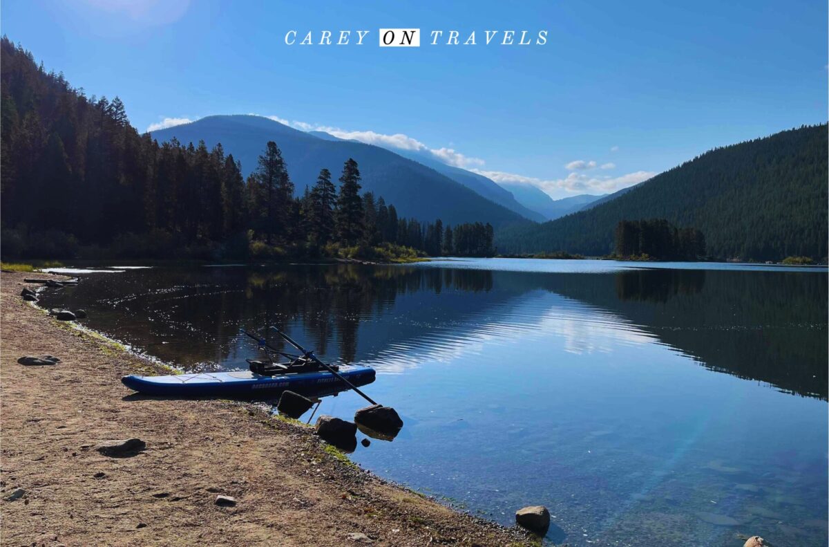
One of our favorite day hikes in Grand County is the Monarch Lake Loop Trail is perfect for families and those looking for a gentle hike. This easy, 4-mile loop takes you around the scenic Monarch Lake, offering breathtaking views of the surrounding mountains and an opportunity to spot local wildlife. The trail is shady and has small rolling hills. Because it hugs the lake, there are plenty opportunities to stop for a picnic or dip in the (cold) water. Our favorite picnic spots are at the abandoned steam engine and on the island. During peak summer periods, it is best to arrive before 8 am to get a good parking spot. Also, pair up your Monarch Lake hike with fishing or paddle boarding. Purchase a Colorado fishing license in advance if you’d like to fish.
In Winter, the last mile of the road to Monarch Lake is closed. You can park outside the gate and walk, snowshoe or ski in, depending on the snow levels. This creates a beautiful 6 mile hike, though snow levels can be deep enough to make this quite a bit more challenging.
2. Adams Falls and the East Inlet Trail (RMNP)
- Distance: 0.6 miles round trip to Adams Falls (the East Inlet Trail extends well beyond this)
- Hiking Time: 0.5 hours
- Elevation gain/loss: +79′ to the falls (8390′ starting elevation)
- Difficulty: Easy
- Pet Friendly: No
- Trailhead: Park at the East Inlet Trailhead in Grand Lake. America the Beautiful Interagency Passes are accepted, or you can pay the daily entry fee (2024 Day pass $30 per vehicle, 7-day pass $35 per vehicle). Rangers do check for timed reservations.
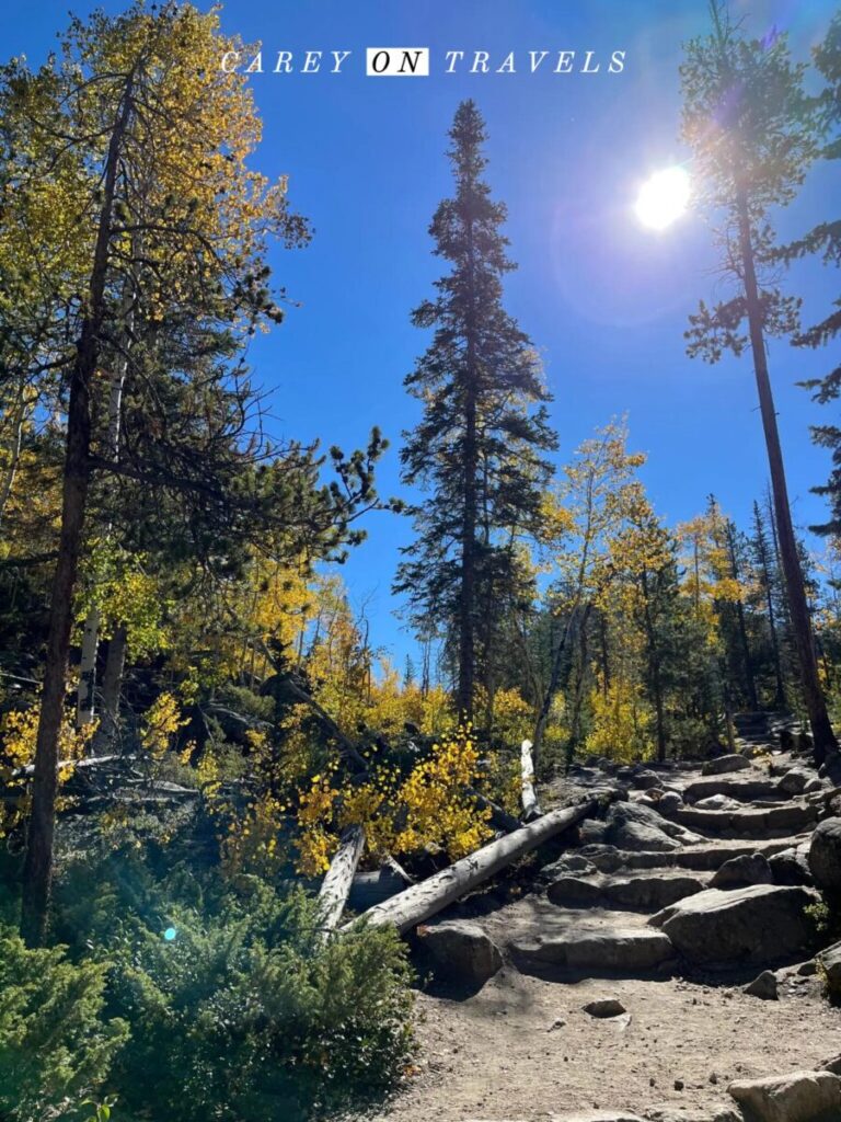
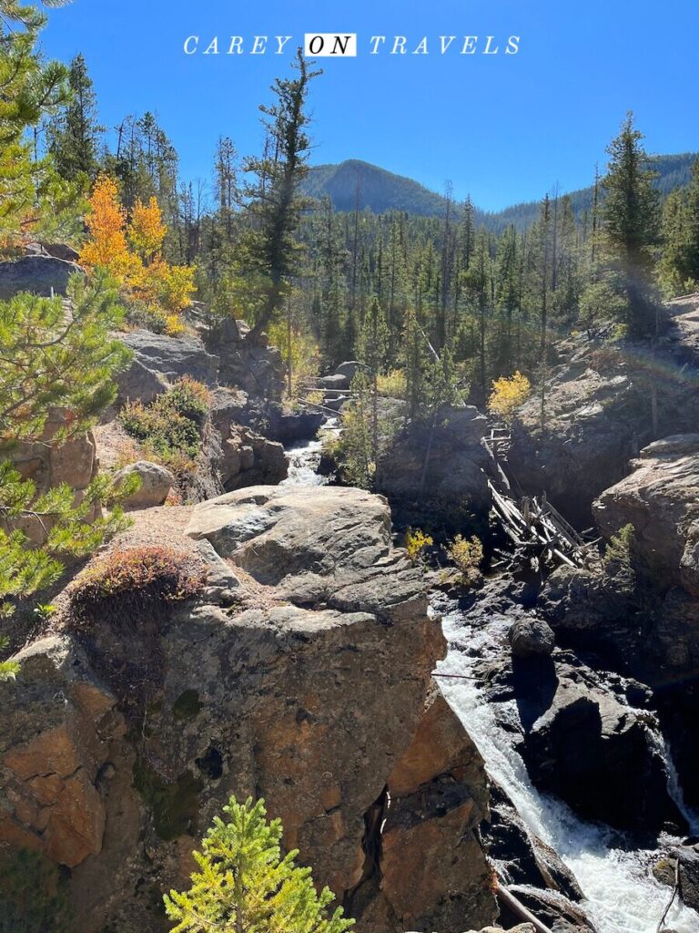
Another of our favorite Grand County day hikes is the Adam’s Falls trail located in Grand Lake. It is an easy 0.3 mile hike to Adams Falls and can be extended to explore further into the East Inlet area, offering stunning views of meadows, lakes, and mountains. Just past the Falls, there is a fairly steep drop-off down to the river. The trail is easy to navigate here, but I’d suggest holding the hands of little kids. You don’t have to go this way, you can always retrace your steps, avoiding this drop-off. Accessing this hike does require a RMNP reservation, but you do not need to wait in line to enter the park. Combine this with a day in Grand Lake.
3. Waterfall Trail Snow Mountain Ranch
- Distance: 2.2 miles roundtrip
- Hiking Time: 1-1.5 hours
- Elevation gain/loss: 410′ (8,890′ starting elevation)
- Difficulty: Easy
- Pet Friendly: Yes, dogs must be on leash
- Trailhead: Park at the Waterfall Trailhead in Snow Mountain Ranch. You do need to either stay at Snow Mountain Ranch (YMCA of the Rockies), or you need to get a day pass to use this trail. Day passes (updated for 2024) are $29 per adult ($14 per child 6-12 years old), free 5 and under.
The waterfall trail in Snow Mountain Ranch is an easy 2.2 mile out and back trail to a scenic waterfall. There is an option to return on a slightly more challenging trail, extending this to a bit longer than 2 miles. This is a great spot to see wildflowers during the summer, and you can often spot beaver dams (and beavers if you are lucky). If you buy a day pass to access the trail, don’t miss the wide variety of activities at the Ranch. These range from archery to zip lining, a summer tubing hill, canoeing, mini golf, and more. You can find a full list of activities on the Snow Mountain website.
4. Fraser River Trail
- Distance: 13.6 miles roundtrip
- Hiking Time: varies based on distance selected
- Elevation gain/loss: +688′ (Fraser elevation 8,584′, Winter Park Resort elevation 9,018′)
- Difficulty: Easy-Moderate
- Pet Friendly: Yes, dogs must be on leash
- Trailhead: There are numerous trailhead parking options in Winter Park and Fraser.
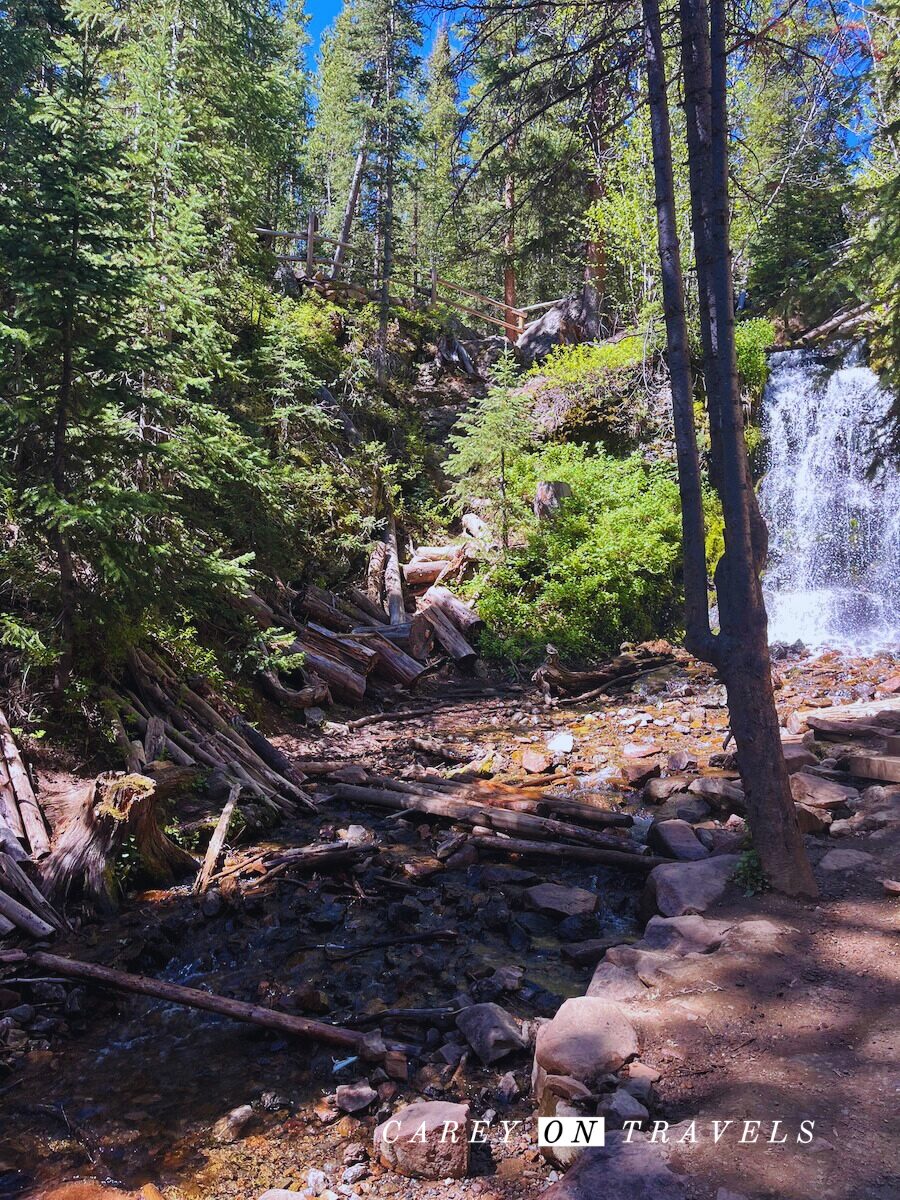
This is a popular trail, which parallels the Fraser River. It is best for birding, hiking, and mountain biking. The South section from Winter Park Hideaway Park up to Winter Park Resort is paved, and offers art installations along the trail. This section is shady and passes through the Idlewild Campground. This portion of the trail can get quite busy during the Summer.
After Winter Park, take paved trail on the West side of Rt. 40 to Fraser, or alternatively, take the dirt trail on the East side of Rt. 40 for a more serene hike. The gravel trail goes by the Cozen’s Ranch Museum, which provides a glimpse into the history of Winter Park, formerly Hideaway Park. Additionally, you’ll find a great picnic spot next to the lake outside of the museum. Afterward, you can retrace your stops, or you can pick up a shuttle in Winter Park or in Fraser (at Safeway) for the return trip. Finally, keep this trail in mind in Winter, as it’s groomed for cross country skiing (see trail map).
5. East Shore Trail and Shadow Mountain Lookout
- Distance: 5.4 miles roundtrip East Shore Trail, 9.6 miles roundtrip Shadow Mountain Lookout
- Hiking Time: 2 hrs East Shore Trail, 4 hr 45 min Shadow Mountain Lookout
- Elevation gain/loss: +416′ East Shore Trail, +1,635′ Shadow Mountain Lookout (8,291′ starting elevation)
- Difficulty: Easy East Shore Trail, Challenging Shadow Mountain Lookout
- Pet Friendly: No
- Trailhead: Park at the Lake East Shore Trailhead within the Arapahoe National Recreation Area. America the Beautiful Interagency Passes are accepted, or you can pay the daily use fee (2024 pricing: $5 for a 1 day pass, $10 for a 3 day pass, $15 for a 7 day pass, $30 for a 12 month pass).
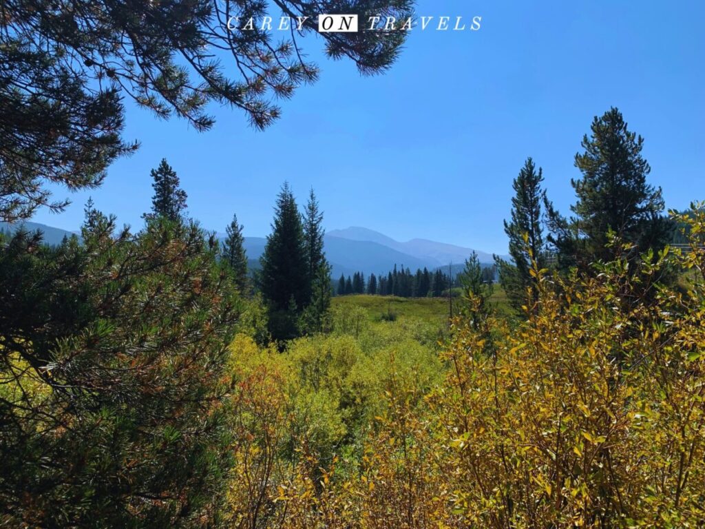
Hugging the Eastern shore of Shadow Mountain Reservoir, the East Shore trail provides an opportunity to view wildlife and enjoy cool breezes coming off the water. This easy trail rolls gently, and provides wonderful views. It is a 5.4 mile round trip from one end of the lake to another. Additionally, we have frequently seen deer, moose, bald eagles, and ospreys.
Alternatively, and if you are looking for more of a challenge, turn off on the Shadow Mountain Lookout trail. It’s a moderate to challenging hike to an historic fire lookout tower at the top of Shadow Mountain provides panoramic views of Grand Lake and the surrounding area.
6. Creekside/Flume Loop
- Distance: 4.8 miles for the full loop, 2 miles if just the Creekside Loop
- Hiking Time: 2 hrs
- Elevation gain/loss: +84′ (8,853′ starting elevation)
- Difficulty: Moderate
- Pet Friendly: Yes, dogs must be on leash
- Trailhead: Park at the St. Louis Creek Campground Trailhead (the trailhead will be located near the campground’s entrance off of Rt 73).
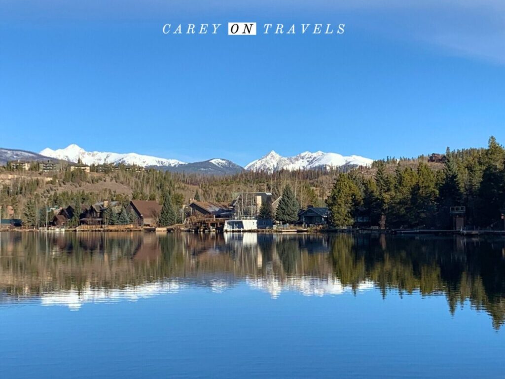
The Creekside/Flume Loop is a moderately challenging 4.8-mile hike with an elevation gain of about 500 feet. It is one of the most popular day hikes (and bikes) in Grand County. It offers a mix of creek-side scenery, historic flume trails, and periodic views of Byers Peak, making it a unique and enjoyable hike. Moose, deer, as well as a variety of birds are frequently spotted here.
7. Cascade Falls Trail (RMNP)
- Distance: 6.8 miles roundtrip
- Hiking Time: 2.5-3 hrs
- Elevation gain/loss: +633′ (8,510′ starting elevation)
- Difficulty: Moderate
- Pet Friendly: No
- Trailhead: Park at the North Inlet Trailhead inside the Grand Lake / West Portal entrance to Rocky Mountain National Park. America the Beautiful Interagency Passes are accepted, or you can pay the daily entry fee (2024 Day pass $30 per vehicle, 7-day pass $35 per vehicle). Rangers do check for timed reservations.
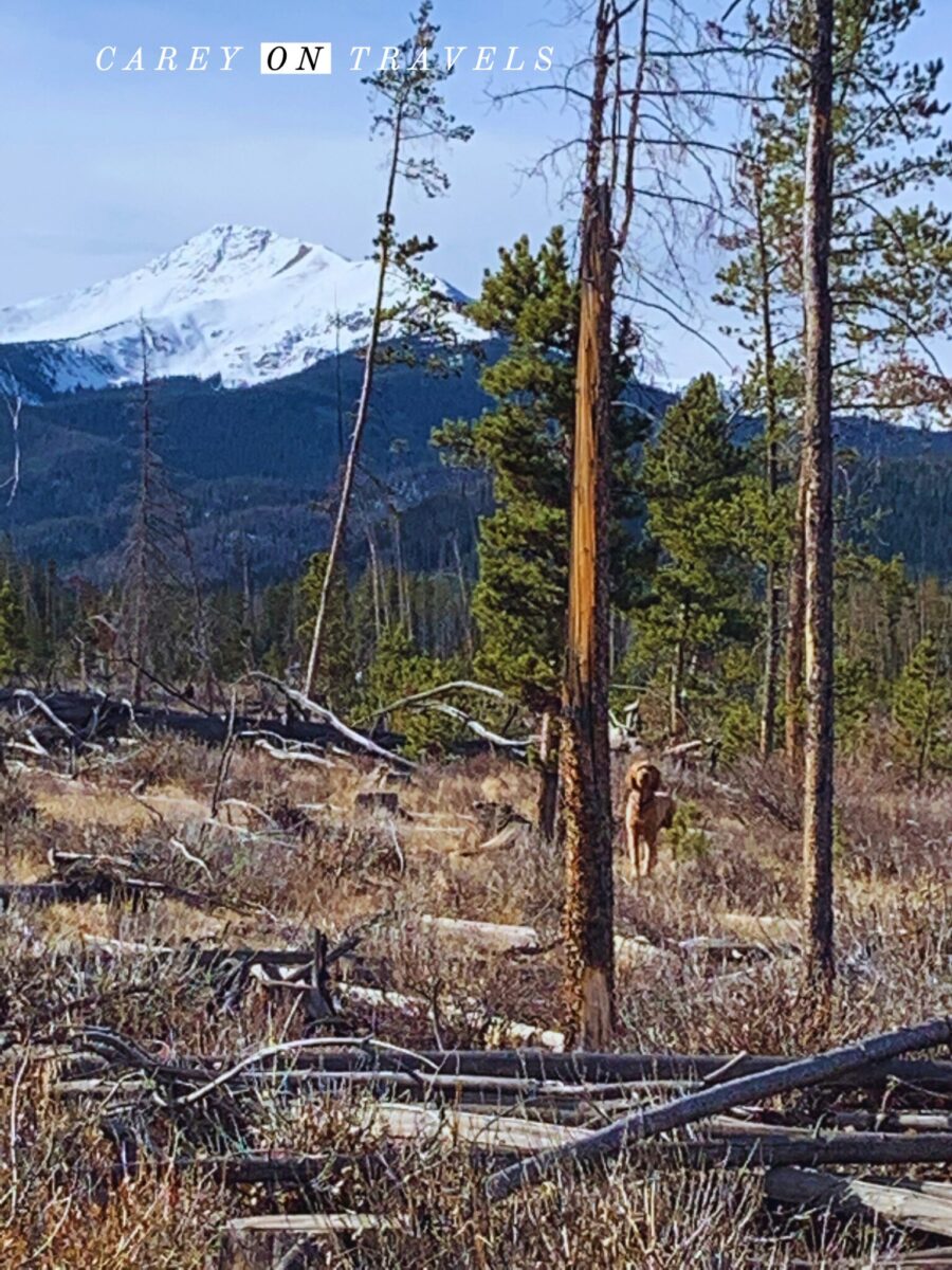
Starting from the North Inlet Trailhead in Grand Lake, this moderate hike leads to beautiful Cascade Falls. The 3.4 mile trail (each way) is known for its lush surroundings and serene atmosphere. It starts as a wide dirt trail, continuing along the creek for the first portions of the trail. As a result, there are fishing opportunities along the way (requiring a Colorado fishing license).
After about 3 miles of hiking, look for a sign for Cascade Falls on the right side of the trail, and finally, a series of stairs heading up to the falls. The meadows, just passed the falls, are a great spot for sighting moose. This is a great option in Summer, when the wildflowers are in bloom, or during autumn with the spectacular fall foliage.
8. Columbine Lake Trail
- Distance: 7.9 miles roundtrip
- Hiking Time: 4 hrs
- Elevation gain/loss: +980′ (starting elevation 10,067′)
- Difficulty: Difficult
- Pet Friendly: Yes, dogs must be on leash
- Trailhead: Park at the Junco Lake Trailhead within the Arapahoe National Recreation Area. America the Beautiful Interagency Passes are accepted, or you can pay the daily use fee (2024 pricing: $5 for a 1 day pass, $10 for a 3 day pass, $15 for a 7 day pass, $30 for a 12 month pass).
This is a moderately difficult 7.9 mile out and back hike near Tabernash, leading from Junco Lake to the beautiful Columbine Lake. The trail offers a mix of forest, meadows, and alpine views. This takes you up the continental divide, with stunning views. After enjoying a picnic at Columbine Lake, begin your return trip to Junco Lake. Additionally, keep in mind that Columbine Lake is above tree line. As a result, is very exposed to the elements. We’ve gotten caught in unexpected passing thunderstorms, even when the weather forecast looks clear and sunny. This is a hike that is best done early in the day.
9. Byers Peak
- Distance: 9.1 miles
- Hiking Time: 8 hours
- Elevation gain/loss: +2,988′ (starting elevation 9,809′)
- Difficulty: Difficult
- Pet Friendly: Yes, dogs must be on leash
- Trailhead: Park at the The Byers Peak Trailhead within the Arapahoe National Recreation Area. America the Beautiful Interagency Passes are accepted, or you can pay the daily use fee (2024 pricing: $5 for a 1 day pass, $10 for a 3 day pass, $15 for a 7 day pass, $30 for a 12 month pass). From Fraser, CO, take County Road 73 SW to Forest Road 160 into the Fraser Experimental Forest. Turn right on Forest Road 164 and follow to the trailhead. This is an unconventional trailhead in that hikers must travel over 1.8 miles of road before arriving at the trail to the peak.
This challenging day hike leads to the summit of Byers Peak, offering expansive views of the surrounding wilderness. It’s a popular day hike for those looking for a rigorous day adventure in Grand County. It is 4.5+ miles each way from the Byers Peak Trailhead at parking area gate to the peak. Alternatively, bring your mountain bike and bike the first 1.8 miles before starting your hike. Start this hike early in summer to avoid the typical afternoon passing thunderstorms.
10. Devil’s Thumb Pass via Devil’s Thumb Trail
- Distance: 7.8 miles roundtrip
- Elevation gain/loss: +2,273′ (starting elevation 9,609′)
- Difficulty: Difficult
- Pet Friendly: Yes, dogs must be on leash
- Trailhead: Park at the Devils Thumb Trailhead in Tabernash in the Indian Peaks Wilderness area. Permits are required for overnight stays.
Devil’s Thumb Trail is a longer, more demanding hike, but it’s incredibly rewarding. This option runs from the Devils Thumb Trailhead in Tabernash up to the Devil’s thumb, with stunning views along the way up and at the top. You have numerous options for extensions, whether to Devils Thumb Lake and Lake Jasper, or even hiking through to Nederland to the East.
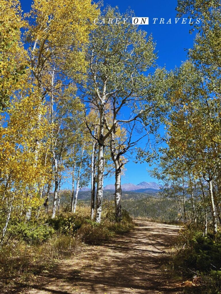
Granby Ranch Trails
- Distance: varies
- Elevation gain/loss: varies (Granby Ranch ski area base elevation is 8,202′)
- Difficulty: varies
- Pet Friendly: Yes, dogs must be on leash
- Trailhead: most of the hikes leave from the base of Granby Ranch. The ski parking lot(s) are the easiest locations. Granby Ranch offers full day and single lift tickets to access hiking trails.
- Where to Eat and Drink: The First Chair Cafe at the base offers coffee, breakfast foods, and pack and go lunches if you’d like to bring along a picnic. Bluebird Bistro at Granby Ranch’s ski base has a great location to enjoy after wrapping up hikes on the mountain or on the Fraser-Granby trail.
Granby Ranch offers a network of family friendly trails suitable for day hikes of all levels. Whether you’re looking for a short family-friendly hike or a more strenuous trek, Granby Ranch has options for everyone. Taking the chairlift up and walking down can be quite enjoyable, especially when the wildflowers are in full bloom. When you exit the lift, walk straight off and stop to enjoy the beautiful vistas over the Fraser Canyon, before heading downhill. Some of our favorite downhills trails include Nature’s Way and the Fraser Canyon Trail to the Ike Trail. The Fraser-Granby trail cuts through Granby Ranch, and can be accessed without a trail pass.
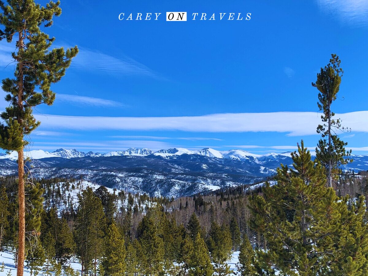
Essential Hiking Tips
- Mountain weather: Always check the forecast before heading out and watch for rapid weather changes. When you see bad weather coming, get below timberline.
- Hydration and Fuel: Bring more water for your day hikes than you think you’ll need. Electrolytes can help you stay hydrated (e.g., Nuun and LiquidIV). Don’t drink water from streams and ponds, unless you are using a LifeStraw or similar. Pack energy-boosting snacks like nuts, fruits, and energy bars.
- Leave no Trace: Preserve the natural beauty by following the Leave No Trace principles. Pack out all trash, stay on designated trails, and avoid disturbing wildlife.
- Wildlife Awareness: Be aware of the wildlife in the area. Make noise while hiking to avoid surprising animals and know what to do in an encounter with local animals.
- Navigation: If you are using a map on your phone, make sure that it is downloaded. Cell service can be unreliable in the wilderness areas. Inform someone of your hiking plan and expected return time.
- First Aid: Carry a basic first aid kit for minor injuries. This should include, at minimum, Band-Aids, antiseptic, aspirin, mirror, matches, and a jack-knife, a whistle, flashlight, and multi-tool.
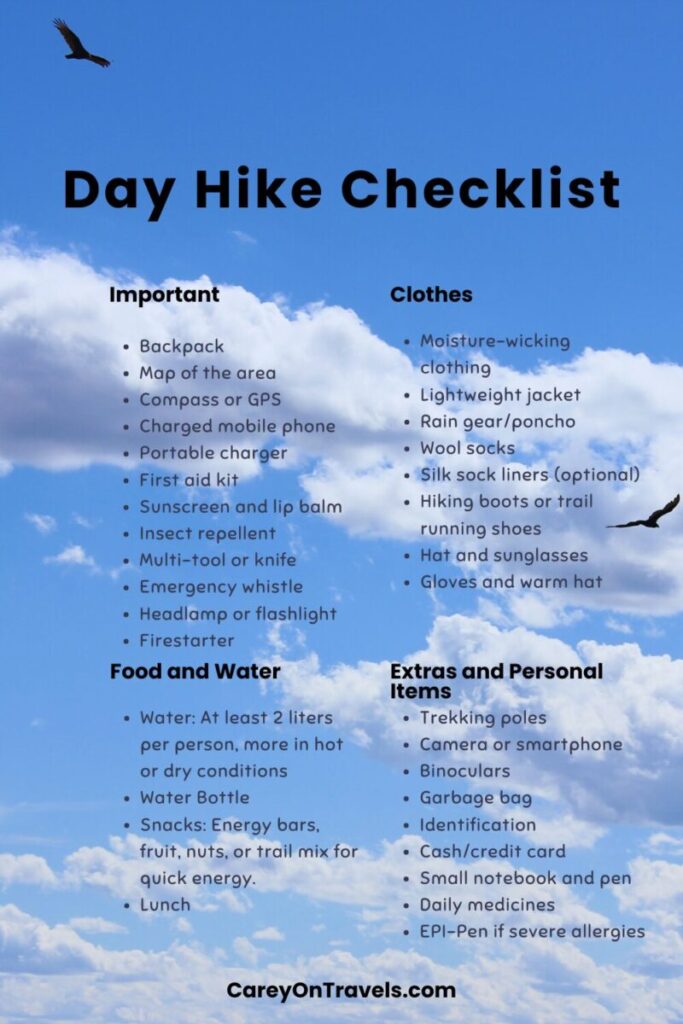
- Check our post on Day Hike Essentials for a more comprehensive list of items to bring on your day hike.
Day hikes in Grand County offer a window into the beauty of the Colorado Rockies. Whether you’re an experienced hiker or just looking to enjoy a leisurely walk in nature, these trails provide a perfect opportunity to experience the best of what Grand County has to offer. Enjoy these family friendly day hikes in Grand County almost year-round.
You Might Also Enjoy:
Reading more Colorado posts.
- Best Colorado Ski Towns for Families
- Car Rental Tips for Your Colorado Ski Vacation
- Unique Places to Stay in Winter Park Colorado
- Crafting the Perfect Winter Park Ski Vacation
- Plan Your Perfect Grand County Summer Getaway
- A Perfect Grand Lake Day Trip
- Top Things to Do in Rocky Mountain National Park in Winter
- Best Places to Visit in Colorado in the Summer
- 2 Days in Rocky Mountain National Park
If you liked this post, pin it for later!
Travel Resources
We recommend booking through our preferred travel booking sites below.
| Air Travel | SkyScanner |
| Lodging | Booking.com, VRBO.com, Expedia.com, Hostelworld |
| Tours and Activities | Viator.com, GetYourGuide.com, TakeWalks.com |
| Car rentals | Discovercars.com |
| Travel insurance | Squaremouth |
| Bike and scooter rentals | BikeBookings.com |
| Train tickets | Trainline, RailEurope |
| Bus tickets | Flixbus, Busbud |


This is such a great guide! I’m especially interested in the waterfall and East Shore trails, but they all look amazing. thanks for such a helpful guide!
Thank you, hope you have a chance to explore these trails.
So many cool day hikes in Grand County. Love the scenic views and your guides on what to expect.
Thank you!
Your hiking is truly inspiring!
Thanks!
Great list! I love hiking to a destination. The Cascade Falls hike is perfect for me.
That is a beautiful hike, great choice!
I love spending time in nature with my family- would definitely choose the Monarch Lake Loop Trail for a summer hike with kids: . the shade of the trees and the picnic on the shore- what could be a better pick! Thanks for the inspiration and useful tips!
This is one of our favorite family hikes. The views, shade, and lakeshore picnics are a wonderful combination.
What a comprehensive post. I like that you have given an overview of all hikes by difficulty. Even the easy ones offer such great views.
It’s hard to go wrong on these hikes in good weather!
Thanks for sharing. I would probably choose the Fraser River trail, as I’m not experienced with hiking…and it looks like a peaceful walk.
It is a very peaceful walk with great views.
My husband and I haven’t done as much hiking on the west side of RMNP. I’ll definitely use this post as inspiration.
We spent most of Covid at our place in Grand County, so we had plenty of time to hike in the area. It’s definitely worth exploring the area and the hikes.
As always, your photos are gorgeous! Thanks for sharing!
Thank you
I have hiked a lot in RMNP but not a lot on the Grand Lake side. East Inlet is my favorite hike there. You’ve given some great new ideas for more summer hikes.